LAND PARCELS
SWIPE TO PREVIEW NEXT/PREV
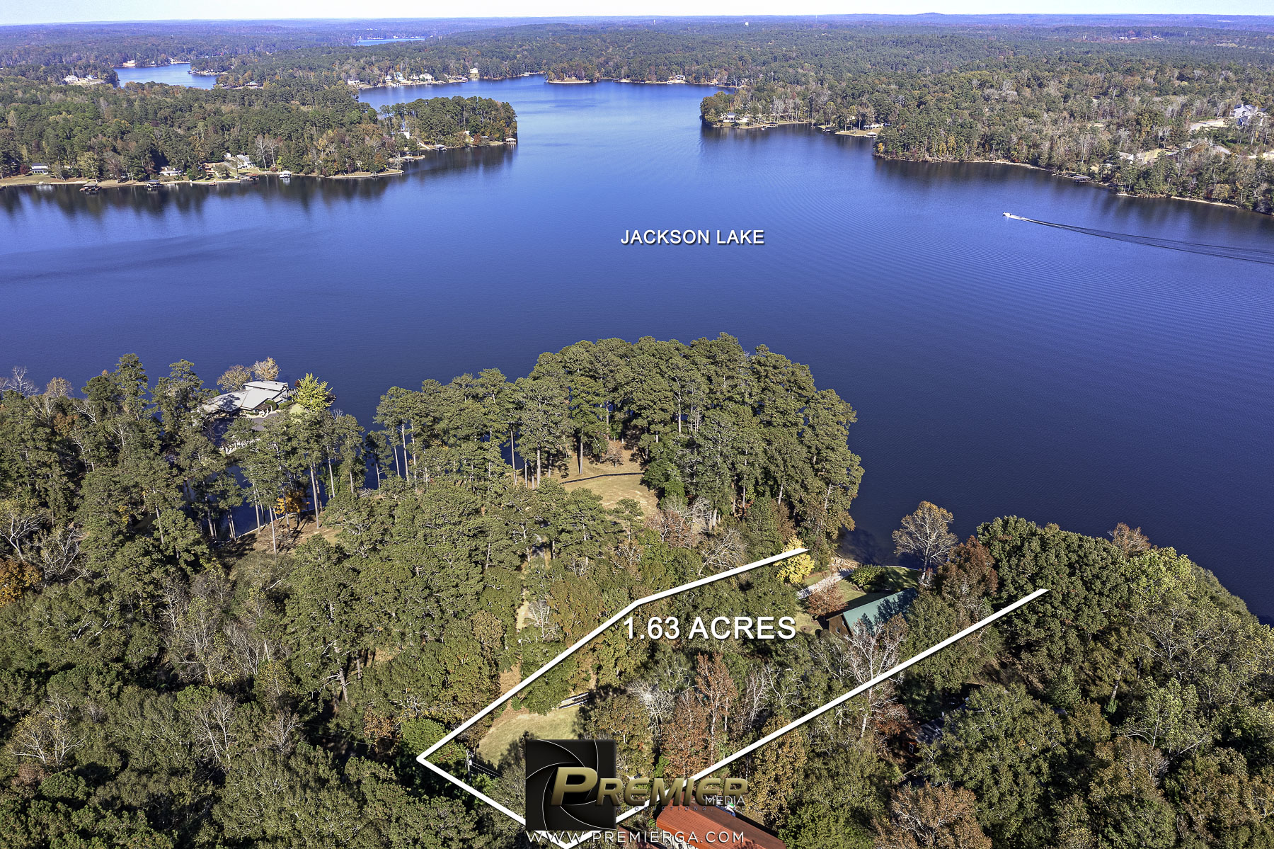
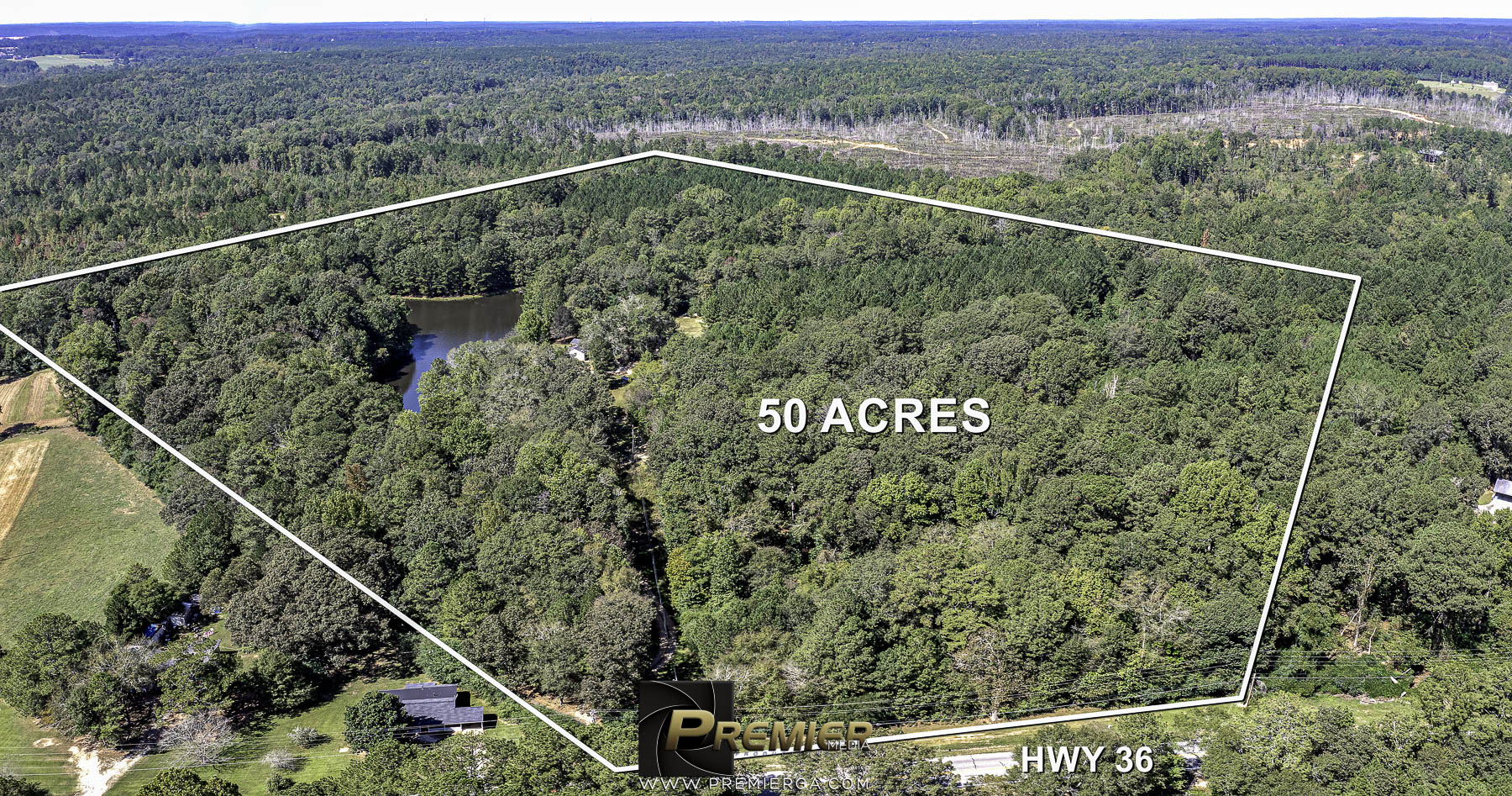
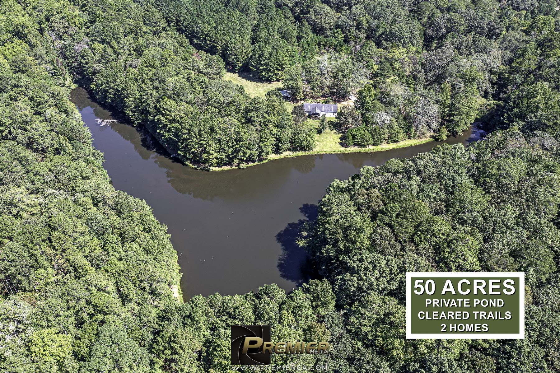
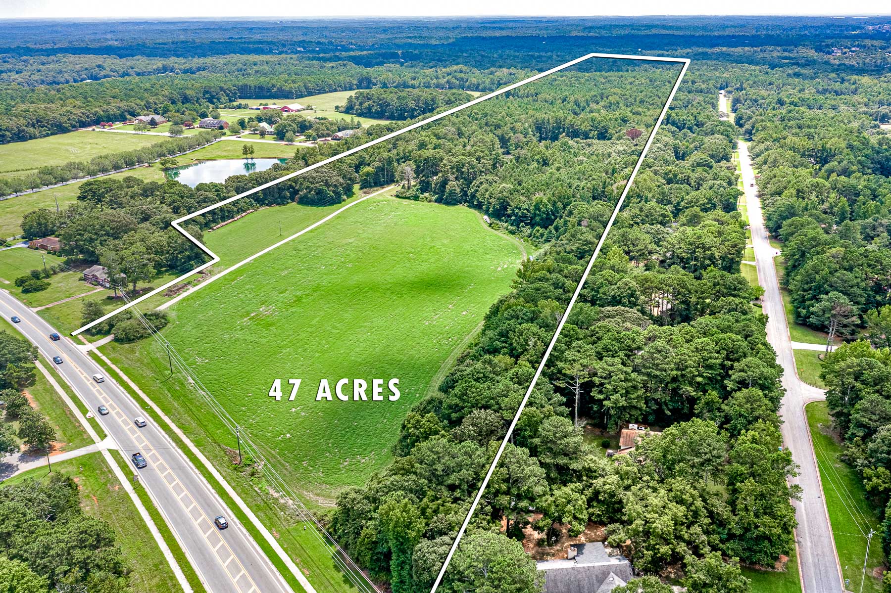
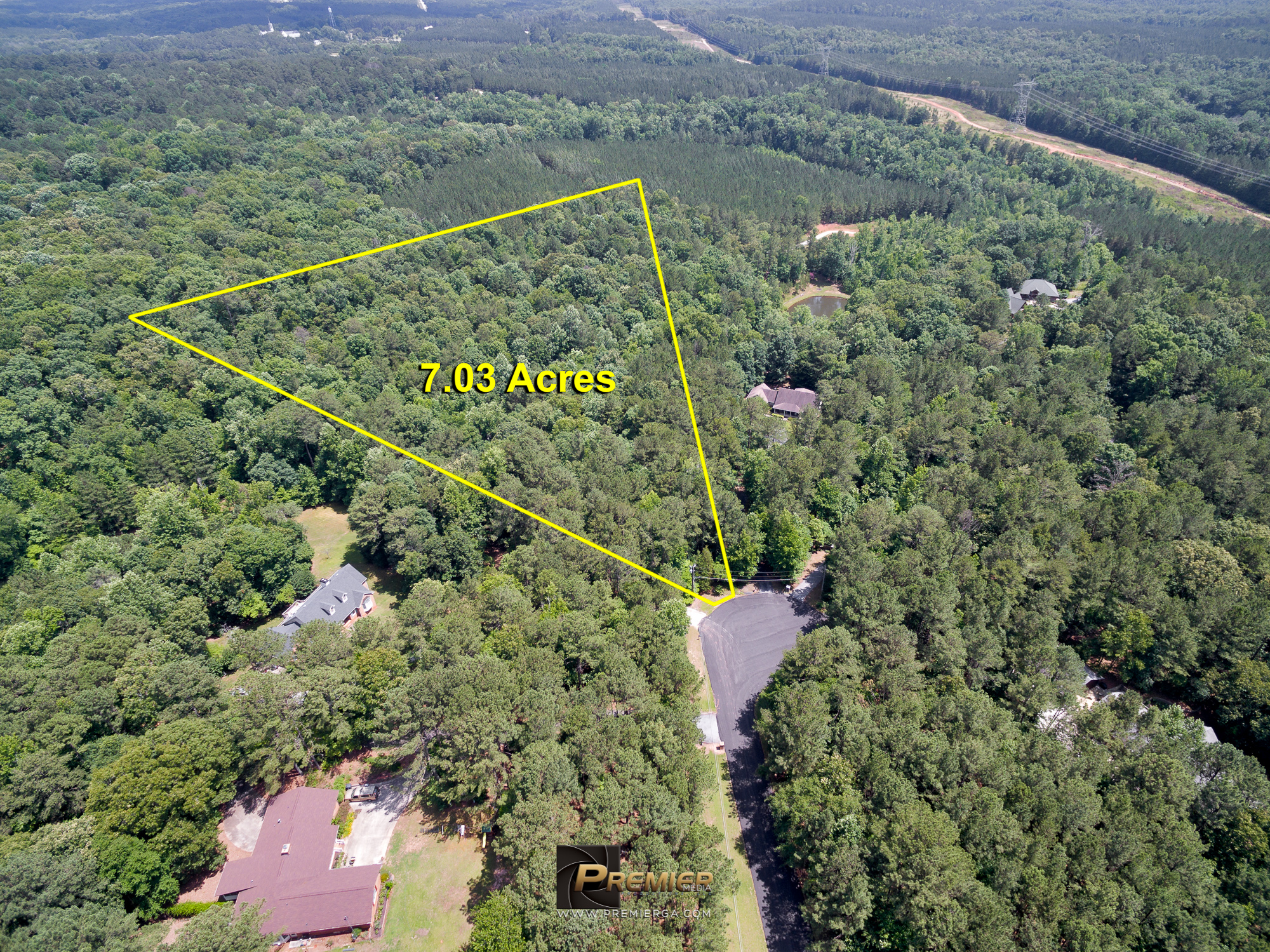
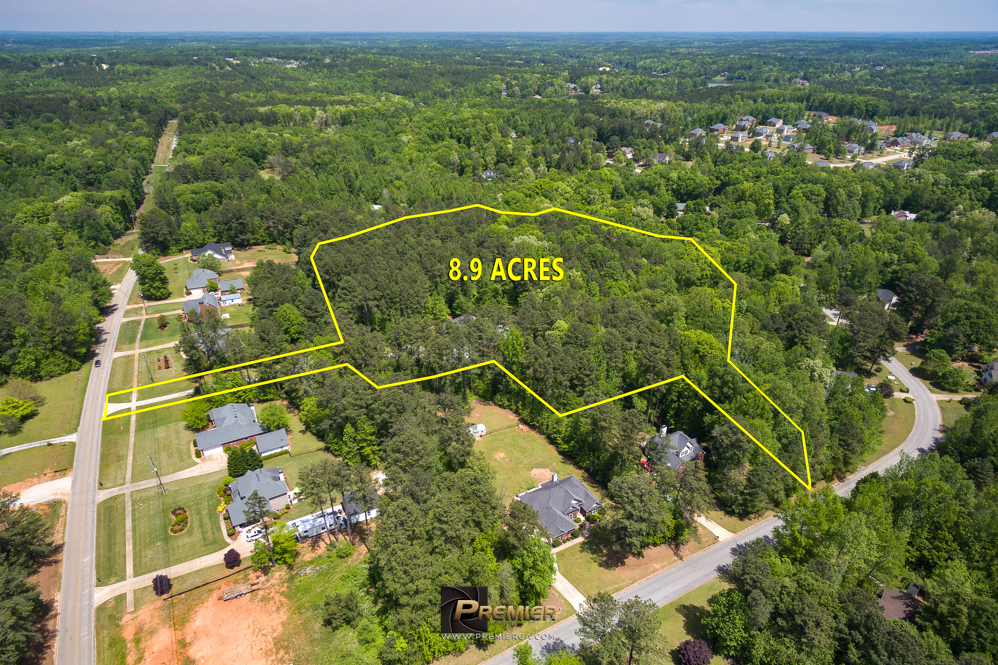
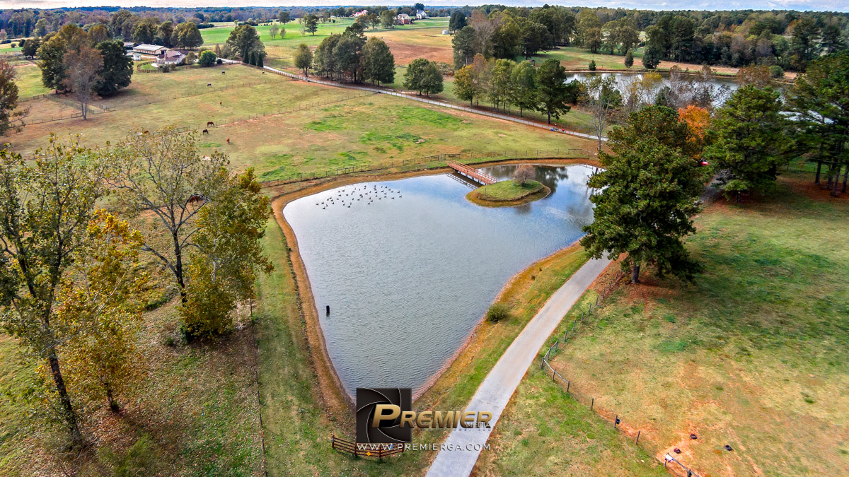
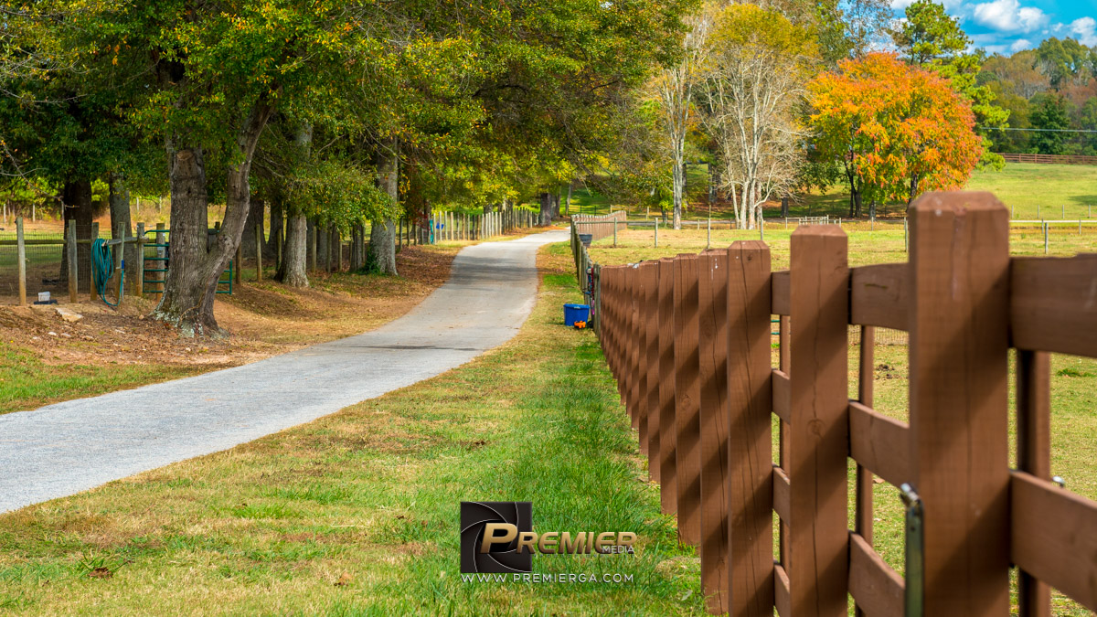
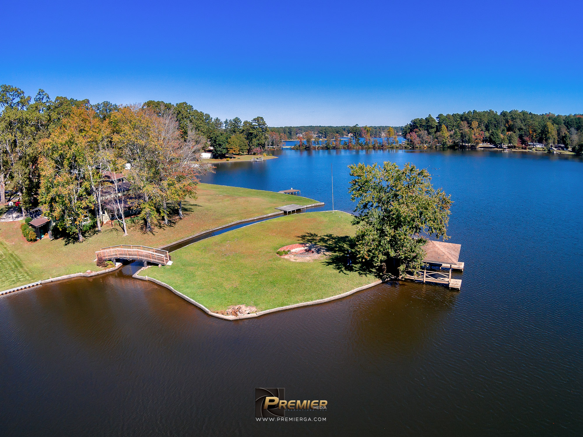
For parcels of land with no buildings, no access, little access, we will utilize our drone to capture the area. We will photograph the road(s) connecting to the plot, surrounding area and any details you may need to show. In addition, we will label the roads, bodies of water and provide land boundaries to show what is being offered. Boundaries are used from the county records and are not surveys, they are approximate.